|
Directions to HWBS
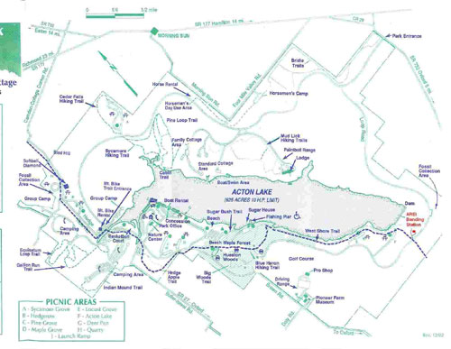
From Oxford, OH: Take Brown Road north out of Oxford, toward Hueston Woods State Park. Brown Road will dead end at Loop Road of Hueston Woods State Park. Turn right (east) onto Loop Road and travel about 3 miles. You will come down a long hill before the bridge that crosses the creek from the spillway of the damn. Before you get to the bridge (maybe 50 yards), you will see a service drive on the left - the drive has a gate that is generally closed and locked. That is the entrance to HWBS. When we are banding, the gate will be open. Unfortunately, there is very limited parking inside the service drive, so please park outside the gate, or park down at the bridge in the fossil collecting parking lot.
|